Recurring aerial documentation and site mapping for development work across Northeast Florida and Southeast Georgia. Flown from the same positions every visit, delivered in formats your team already opens, and organized so month five can sit beside month one and read as one sequence.
Most projects start with one of these and add a second once the value of having the record is obvious.
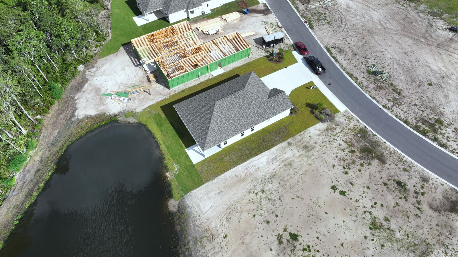
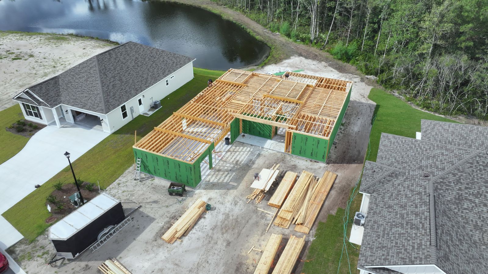
The site changes every week and almost none of it gets recorded. Repeat flights over an active build, shot from fixed positions and altitudes, so the set reads as one sequence instead of a folder of unrelated photos. Useful for draw requests, owner updates, subcontractor coordination and the argument you have eighteen months from now about what was under that slab.
Progress, framing stageHundreds of overlapping images stitched into one top down map of the whole site, at a resolution you can zoom into. Distances and areas are measured off the image, and the file exports into the mapping and design software your engineers already use. Good for planning, staging, quantity checks and showing a parcel as it actually sits today rather than as the last aerial photo showed it.
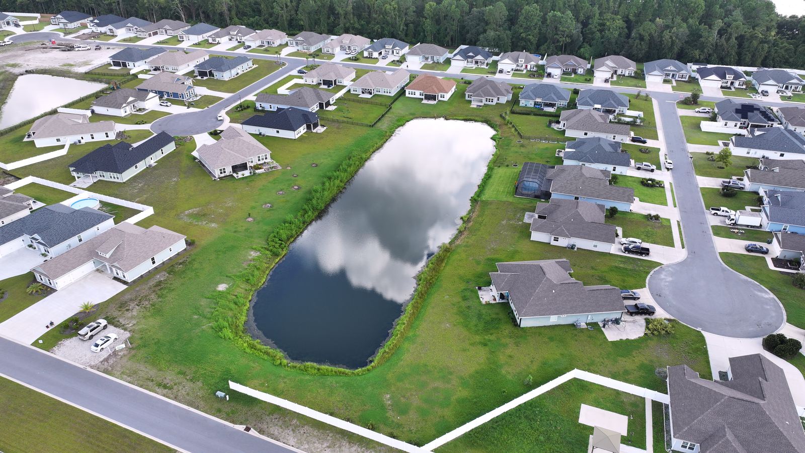
Top down, single lotAerials made for a sales conversation. Lot lines drawn on the image, amenities labeled, and the drive to the water, the school or the highway shown in a single frame. The same flight covers the sales office wall, the listing page and the flyer, so a buyer looking at a cleared lot can see what the address is actually near.
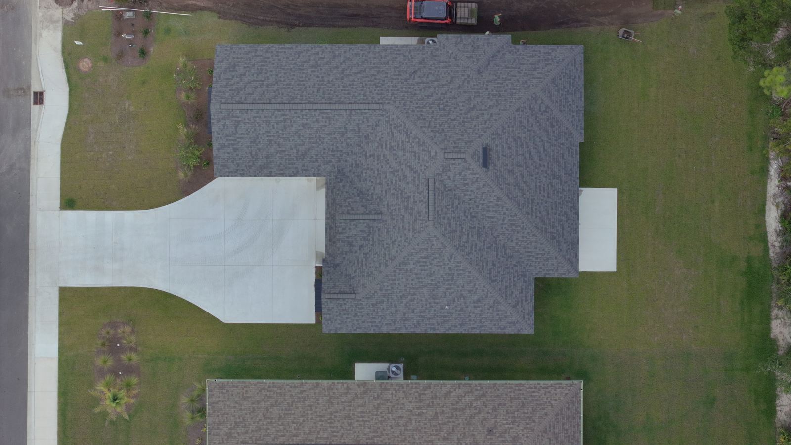
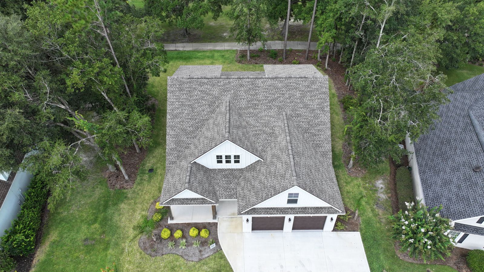
Community aerialA dated visual record of a structure, captured before hurricane season, at the close of a build, or near the end of a warranty period. Every roof plane and elevation covered, close passes on anything already showing wear. When a claim or a warranty argument comes up later, you have imagery from before it happened instead of a memory of how the roof used to look.
Roof, top downEverything lands in a private gallery, named and dated, downloadable in full resolution.
Full resolution JPEG, aerial and ground level, named by site, date and position so the sequence stays in order on its own.
A 4K overview edit of each visit, plus a vertical cut when the footage is going to a sales page or a social account.
Orthomosaic as a GeoTIFF for GIS and CAD, a flat JPEG for presentations, and a PDF map sheet with the measurements marked.
One gallery link per project, kept online for a year, organized by visit date. Share it with the owner, the lender or the crew.
| Deliverable | Format | Opens in |
|---|---|---|
| Progress photo set | JPEG, full resolution | Anything |
| Site overview video | MP4, 4K | Anything |
| Orthomosaic | GeoTIFF, JPEG | QGIS, ArcGIS, AutoCAD, Civil 3D, most site software |
| Map sheet | Anything | |
| Measurements | Marked PDF, CSV on request | Anything, Excel |
| Point cloud | LAS on request | Recap, CloudCompare, Civil 3D |
Worth saying plainly up front, because the difference matters on a permit.
I fly, capture and document. I am not a licensed surveyor and these deliverables are not a substitute for one.
The first visit takes a conversation. After that it runs on the calendar without you managing it.
We go over the parcel map or walk the site, agree on what the documentation is for, and set the flight positions. I check the airspace, file for authorization if the location needs it, and confirm who to call for site access on flight days. If the project has a phase schedule, the visit calendar gets built around it.
On site inside the agreed window, usually thirty to ninety minutes depending on the size of the parcel. Same positions, same altitudes, same order every visit, which is the whole reason the comparison works later. Mapping flights run a grid pattern instead and take longer. Weather moves a visit, never cancels it, and you hear from me the morning of rather than after I have driven out.
Edited, named, dated and in the gallery within forty eight hours of the flight. Mapping takes longer to process, usually three to five days, and you get a delivery date when the flight is booked. Every visit after the first arrives with the comparison set alongside it, so the change since last month is visible without anyone digging through folders.
Site size, phase count and how often you want flights all move the number. These are the starting points.
| Project work | Rate | What it covers |
|---|---|---|
| Progress flight, single visit | $450 | One site, one flight window, photo set and overview video |
| Monthly documentation | $1,200 a month | Two visits, comparison set, quarterly recap |
| Orthomosaic, under 20 acres | $750 | Map sheet, GeoTIFF, measurements |
| Orthomosaic, 20 to 100 acres | $1,400 | Same deliverables, larger flight plan |
| Full day mapping | $1,600 | Multiple parcels or phases in one day |
| Lot and community marketing | $650 | Overlays, labeled aerials, community video |
| Roof and exterior documentation | From $275 | Per structure, dated condition record |
Sites above 100 acres, projects with several active phases, and portfolios of structures are quoted after a scope call. Six month documentation commitments hold the monthly rate.
Ground control points $250 a site. Extra vertical cut $95. Interior progress walkthrough $200. Same week mapping turnaround $300.
Beyond 30 miles, $0.70 a mile. Weather reschedules are free. Cancellations inside 24 hours for any other reason are billed at half.
Launch pricing. These rates are held through December 31, 2026.
Parcel size, where it is, what stage it is at and what the documentation is for. I will come back with a flight plan, a schedule and a number.
Jacksonville and Northeast Florida Kingsland and Camden County